The Texarkana Gateway to Texas and the Southwest Page: 58
224 p. : ill., maps ; 23 cm.View a full description of this book.
Extracted Text
The following text was automatically extracted from the image on this page using optical character recognition software:
--. .~' ` ~ ..k
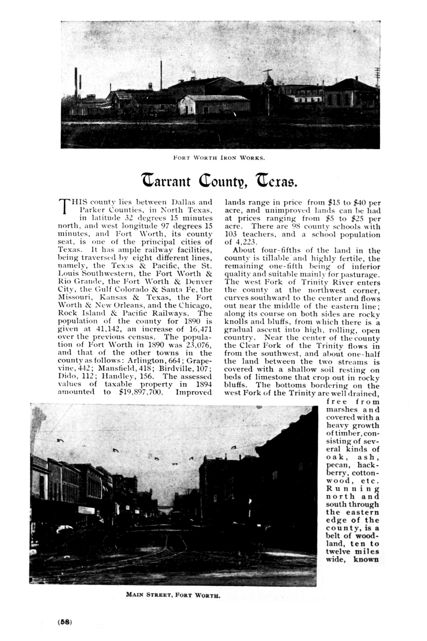
FORT WORTH IRON WORKS.
warrant Countv, tcxae.
TlIS county lies between Dallas and
Parker Counties, in North Texas,
in latitudle 32 degrees 15 minutes
north, andl west longitude 97 degrees 15
minutes, and Fort \Worth, its county
seat, is one of the principal cities of
Texas. It has ample railway facilities,
being traversed yv eight different lines,
namnely, the Tex:ls & Pacific, the St.
Louis Southwestern, the Fort \\orth &
Rio (;rande, the Fort Worth & Denver
City, the Gulf Colorado & Santa Fe, the
Missouri, Kansas & Texas, the Fort
Worth & New Orleans, and the Chicago,
Rock Island & Pacific Railways. The
population of the county for 1890 is
given at 41,142, an increase of 16,471
over the previous census. The popula-
tion of Fort Worth in 1S90 was 23,076,
and that of the other towns in the
county as follows: Arlington, 664; Grape-
vine, 442; Mansfield, 418; Birdville, 107;
D)ido, 112; Ilandley, 156. The assessed
values of taxable property in 1894
amounted to $19,897,700. Improved
lands range in price from $15 to $40 per
acre, and unimproved lands can be had
at prices ranging from 95 to $25 per
acre. There are 9S county schools with
103 teachers, and a school population
of 4.223.
About four-fifths of the land in the
county is tillable and highly fertile, the
remaining one-fifth being of inferior
quality and suitable mainly for pasturage.
The west Fork of Trinity River enters
the county at the northwest corner,
curves southward to the center and flows
out near the middle of the eastern line;
along its course on both sides are rocky
knolls and bluffs, from which there is a
gradual ascent into high, rolling, open
country. Near the center of the county
the Clear Fork of the Trinity flows in
from the southwest, and about one-half
the land between the two streams is
covered with a shallow soil resting on
beds of limestone that crop out in rocky
bluffs. The bottoms bordering on the
west Fork of the Trinity are well drained,
free from
marshes a n d
covered with a
heavy growth
of timber, con-
sisting of sev-
eral kinds of
oak, ash,
pecan, hack-
ermr, cotton-
wood, etc.
Ru n n i n g
north and
south through
the eastern
edge of the
county, is a
belt of wood-
land, ten to
twelve m il es
wide, known
MAIN STREET, FORT WORTH.
(68)
a!
?.F1;.- i . . .'-*-
Ji
f
jI
Upcoming Pages
Here’s what’s next.
 59 of 220
60 of 220
61 of 220
62 of 220
59 of 220
60 of 220
61 of 220
62 of 220
Search Inside
This book can be searched. Note: Results may vary based on the legibility of text within the document.
Tools / Downloads
Get a copy of this page or view the extracted text.
Citing and Sharing
Basic information for referencing this web page. We also provide extended guidance on usage rights, references, copying or embedding.
Reference the current page of this Book.
Texas & Pacific Railway. The Texarkana Gateway to Texas and the Southwest, book, 1896; St. Louis, Missouri. (https://texashistory.unt.edu/ark:/67531/metapth61116/m1/58/: accessed April 18, 2024), University of North Texas Libraries, The Portal to Texas History, https://texashistory.unt.edu; .